In short
- Download the official City of Chicago PDF map.
- Signs are inconsistent, making navigation difficult.
- Guided tours offer curated routes without the hassle.
In this article
The Chicago Pedway connects more than 40 blocks in the Central Business District. Because it runs through about 50 private and public buildings, there is no single unified navigation system. You need a reliable map or a professional guide to find your way.
Where can I download the official Chicago Pedway map?
You can download the official map from the City of Chicago website as a PDF.
Save this map to your smartphone before you arrive. You can also print a hard copy. Cell service drops in some underground tunnels, so a downloaded file is essential.
Why is navigating the Pedway so difficult?
The Pedway has inconsistent signage and unexpected dead ends.
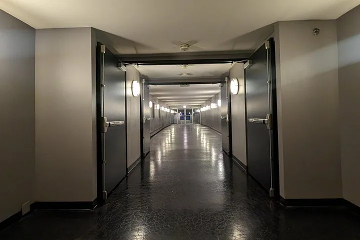
The tunnels route through the basements of private corporate buildings. Not every segment uses the same navigation signs. You must actively look for the black and yellow compass rose logo to ensure you are still on the path.
Should I use a map or take a guided tour?
A guided tour is much easier if you want to avoid getting lost.
Professional guides know the routes, the history, and which segments are open. Tours start from $33. Guides provide the direction so you can focus on the architecture above.

What are the main entrances on the map?
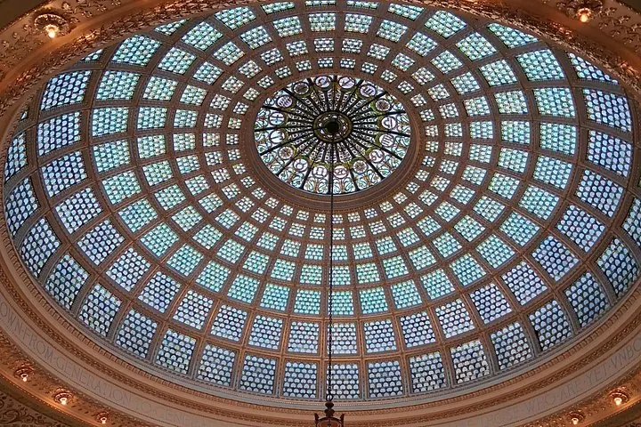
Major entry points include Block 37, the Chicago Cultural Center, and transit stations.
You can access the tunnels from CTA Red or Blue line stations at Lake, Washington, or Monroe. Millennium Station is a busy hub on the eastern end. Use your map to locate street-level entrances.
Are there maps posted inside the Pedway?
Do not rely on physical maps being posted inside the tunnels.
While some transit hubs like Millennium Station have directories, the pedestrian tunnels themselves lack regular maps. Come prepared with a downloaded version.
How does the map show closures?
Maps show general routes but do not track real-time closures.
Many segments close promptly at 5:00 PM on weekdays. Large portions are closed entirely on weekends and major holidays. Keep an eye on the time, as private building hours dictate access.
Questions travellers ask
Is the Chicago Pedway free?
Yes, accessing the pedestrian tunnels is completely free to the public.
Does the Pedway go to Willis Tower?
The official Pedway network does not stretch far enough south and west to connect directly into Willis Tower.
Are there bathrooms in the Chicago Pedway?
Public restrooms are rarely available in the tunnels. You must utilize facilities inside connected public buildings like the Chicago Cultural Center.